Service
Digital Twin
A digital twin is a measurable digital representation of an existing building, created from drone imagery using photogrammetry. It replaces estimation with measurement — for façades, defects and repair quantities.
Definition
What is digital twin?
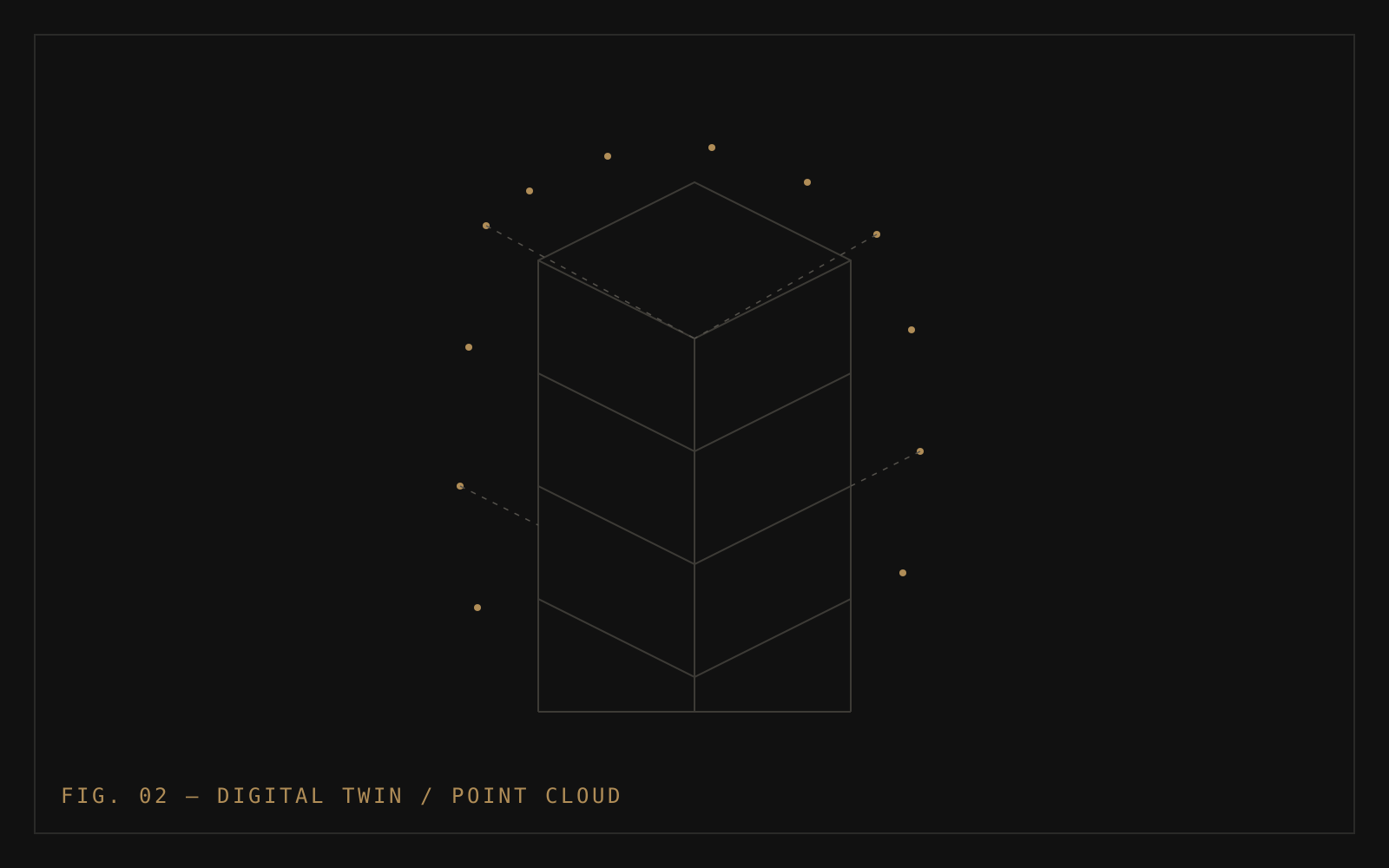
A digital twin, in the context of building repair, is a measurable three-dimensional model of an existing building created by processing hundreds of overlapping drone photographs through photogrammetry. Every façade, elevation and surface of the building exists in the model at true scale.
Unlike a photograph, the twin can be measured. Unlike a drawing, it records the building as it actually is — including every crack, patch and deviation accumulated over decades. It becomes the single reference on which defects are mapped, quantities are measured and progress is compared.
Purpose
Why is it required?
Repair projects are priced by quantity: square metres of plaster, running metres of crack, numbers of spalled locations. Traditionally these quantities are estimated from the ground or from limited scaffold access — and estimation errors surface later as disputes, variations and cost overruns.
Old buildings rarely have accurate drawings. The drawings that exist describe the building as designed, not as built and weathered. A digital twin documents the building as it stands today, creating the accurate base record that every subsequent engineering activity needs.
A twin also creates accountability over time: a model captured before repairs is an objective baseline against which both the executed work and future deterioration can be compared.
Traditional Practice
How the industry usually does it — and where that falls short.
Conventional façade measurement relies on physical access — scaffolding, rope access or ground-level estimation with tapes and rangefinders — supplemented by sketches and photographs.
- Scaffolding for measurement alone is slow and expensive; rope access covers narrow strips at a time
- Ground-level estimation of upper floors is guesswork dressed as measurement
- Quantities estimated differently by each contractor produce incomparable bids
- No objective record survives the project — disputes reduce to one person's word against another's
Our Methodology
How we do it.
01
Flight planning
Each survey is planned around the building's geometry, surroundings and applicable drone regulations: flight paths, standoff distances, image overlap and ground sampling distance are defined before anything flies.
02
Systematic image capture
The drone flies every elevation in overlapping vertical and orbital passes. Photogrammetry requires each surface to appear in multiple photographs from different angles — typically with substantial overlap between consecutive frames — so capture is systematic, not opportunistic.
03
Photogrammetric reconstruction
Processing software identifies millions of common points across the photographs and triangulates them into a dense point cloud, which becomes a textured 3D mesh of the building. Reference measurements taken on site scale and verify the model.
04
Quality verification
The model is checked against known dimensions before use. A model that cannot be verified is not used for quantities — accuracy claims must be demonstrated, not assumed.
05
Defect mapping and measurement
Engineers annotate defects directly on the model — cracks, spalling, exposed reinforcement, staining — each with its location and measured extent. Façade areas and repair quantities are measured on the model at centimetre level.
06
Integration with the project
Measured quantities feed the bill of quantities for tendering; annotated elevations join the structural audit report; and the model itself is preserved as the project's baseline record.
Technology Used
The tools behind the methodology.
- Drone SurveyThe capture platform for every twin
- PhotogrammetryPhotographs into measurable geometry
- Digital Tender PlatformMeasured quantities feed objective tenders
From the Knowledge Centre
Deliverables
What you receive.
- Measurable 3D model of the building
- Orthophotos of every elevation
- Defect-annotated elevation drawings
- Measured façade areas and repair quantities
- Baseline record for future comparison
Benefits
Why it matters.
Measurement, not estimation
Façade areas, crack lengths and defect counts are measured on a verified model — the quantities in the tender reflect the building, not a guess.
Complete coverage
Every square metre of every façade is captured at the same resolution, from the plinth to the overhead tank — including surfaces no inspector could reach.
Fair, comparable tenders
When every bidder prices the same measured quantities, bids become genuinely comparable and variations during execution shrink.
A permanent record
The model preserves the building's exact condition at a point in time — the reference for progress comparison, future audits and dispute resolution.
Typical Applications
Where this service is used.
- Pre-repair façade measurement
- Structural audit documentation
- BOQ quantity verification
- Before-and-after repair comparison
- Elevation studies and records
- High-rise buildings with difficult access
Frequently Asked Questions
Questions clients actually ask.
What is a digital twin of a building?
It is a measurable 3D model of an existing building created from overlapping drone photographs processed through photogrammetry. Engineers use it to measure façades, map defects and verify repair quantities without physical access to every surface.
How accurate is a photogrammetric model?
With systematic capture, adequate image overlap and on-site reference measurements, photogrammetric models support centimetre-level façade measurement. Every model we use for quantities is verified against known dimensions before any measurement is taken from it.
How is a digital twin different from a laser scan?
Both produce measurable 3D data. Laser scanning measures distances directly and excels at interiors and complex geometry; photogrammetry derives geometry from photographs and pairs naturally with drones, giving photographic texture that makes defects visible on the model itself. For external façade assessment of buildings, drone photogrammetry is usually the more practical tool.
Do drone flights over buildings require permission?
Drone operations in India are governed by civil aviation regulations, and requirements vary by location and airspace zone. Flight planning, including regulatory compliance, is part of our survey methodology.
How is the twin used during tendering?
Quantities measured on the model populate the bill of quantities, so every bidder prices identical, verifiable scope. During execution the same model verifies measured work, and after completion it provides the before-and-after comparison.
Related Services
The rest of the repair lifecycle.
- Structural AuditA systematic engineering assessment of an existing building undertaken to evaluate its structural condition, identify deterioration mechanisms and recommend appropriate repair measures.
- Full Building ThermographyAn infrared imaging survey of the complete building envelope, used to identify conditions that are not visible during conventional visual inspection.
- Tender ConsultancyPreparation of technically sound tender documents and transparent, predefined evaluation methodologies for objective contractor selection.
- Project Management ConsultancyEngineering oversight of repair execution — quality, cost, time, safety, documentation and financial transparency — from commencement until completion.
Next Step
Discuss your building with our engineers.
Whether your society is planning a structural audit, preparing a tender or beginning a repair project, the right first step is an engineering conversation — not a sales call.