Technology
Drone Survey
A drone survey is the systematic aerial photography of a building — every façade, roof and elevation captured in high resolution, without scaffolding, rope access or risk to people.
Overview
What it is.
A drone survey uses an unmanned aircraft carrying a high-resolution camera to photograph a building systematically — elevations, terraces, roofs, parapets and service areas. The output is a complete, consistent photographic record of the building envelope captured in hours rather than weeks.
For repair engineering, the drone is an access tool before anything else. The most valuable observations in a façade inspection are usually the ones highest up and hardest to reach — precisely the areas conventional inspection covers worst.
Why It Exists
The problem it solves.
Buildings are inspected from where people can stand. That simple constraint has shaped — and limited — façade inspection for as long as buildings have existed: upper floors observed through binoculars, defects estimated from the ground, scaffolding erected only when the budget allows.
A drone removes the constraint. Every square metre of the envelope becomes equally accessible, equally documented and equally measurable — and nobody leaves the ground.
How It Works
The process, step by step.
01
Flight planning
Each survey is planned around the building's geometry, its surroundings and applicable drone regulations: flight paths, standoff distances, camera settings and image overlap are decided before the aircraft flies.
02
Systematic capture
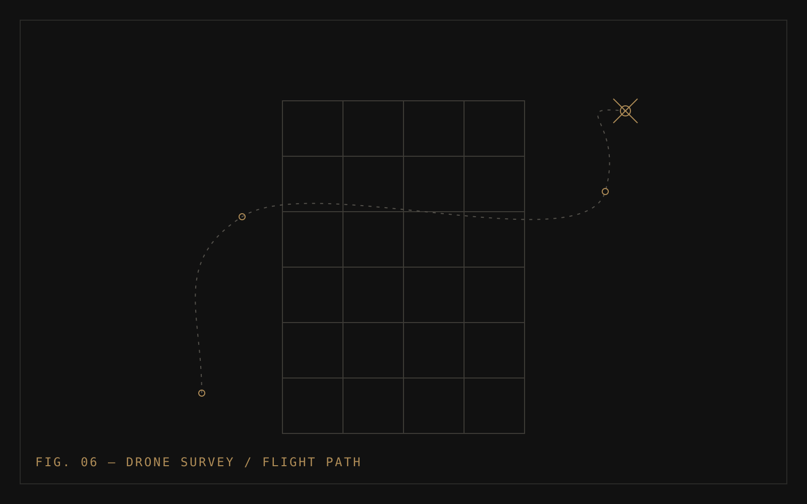
The drone flies each elevation in overlapping vertical passes, then orbital passes around the building. Systematic coverage — not opportunistic snapshots — is what makes the imagery usable for photogrammetry and engineering review.
03
Thermal missions
Where the assessment calls for it, a second flight carries a thermal camera, capturing the infrared data used in full building thermography.
04
Engineering review
The imagery is reviewed by engineers — defects identified, locations logged — and passed to photogrammetric processing when a digital twin is being built.
Advantages
Where it excels.
- Complete envelope coverage, including areas unreachable by physical access
- No scaffolding cost or disruption for inspection alone
- Zero work-at-height risk for inspection personnel
- Consistent, repeatable imagery — surveys can be compared over time
- Feeds directly into photogrammetry and thermography
Limitations
Where it doesn't.
- Weather-dependent — high wind and rain ground the aircraft
- Flight permissions and airspace rules constrain where and when flights happen
- Photography documents surfaces; it cannot test material properties — NDT still requires physical access
- Interior and concealed spaces remain outside its reach
Every technology has limits. Knowing them is part of using it well — and part of why engineering judgement stays in charge.
Where We Use It
The services it powers.
- Structural AuditDrone imagery documents façades within the audit
- Digital TwinThe capture platform for every twin we build
- Full Building ThermographyThermal cameras fly the same aircraft
From the Knowledge Centre
Frequently Asked Questions
Common questions, straight answers.
Is a drone survey safe around an occupied building?
Yes, when planned and flown professionally. Flight paths maintain standoff distances from balconies and occupied areas, missions are planned in advance, and the survey focuses on the building fabric. It is considerably safer than putting people on ropes or temporary platforms for the same coverage.
Do drone flights require permission in India?
Drone operations in India are governed by civil aviation regulations, with requirements depending on drone category, location and airspace zone. Regulatory compliance is part of flight planning on every survey we perform.
Can a drone survey replace a structural audit?
No. The drone is a data-collection tool within an audit — it documents what surfaces look like. The audit is the engineering: interpreting those observations, testing where needed, and converting findings into repair recommendations.
What does the survey produce?
A complete set of high-resolution, systematically captured photographs of the building envelope — and, where commissioned, the photogrammetric model and thermal imagery derived from the same flights.
Related Technology
The rest of the platform.
Next Step
Discuss your building with our engineers.
Whether your society is planning a structural audit, preparing a tender or beginning a repair project, the right first step is an engineering conversation — not a sales call.